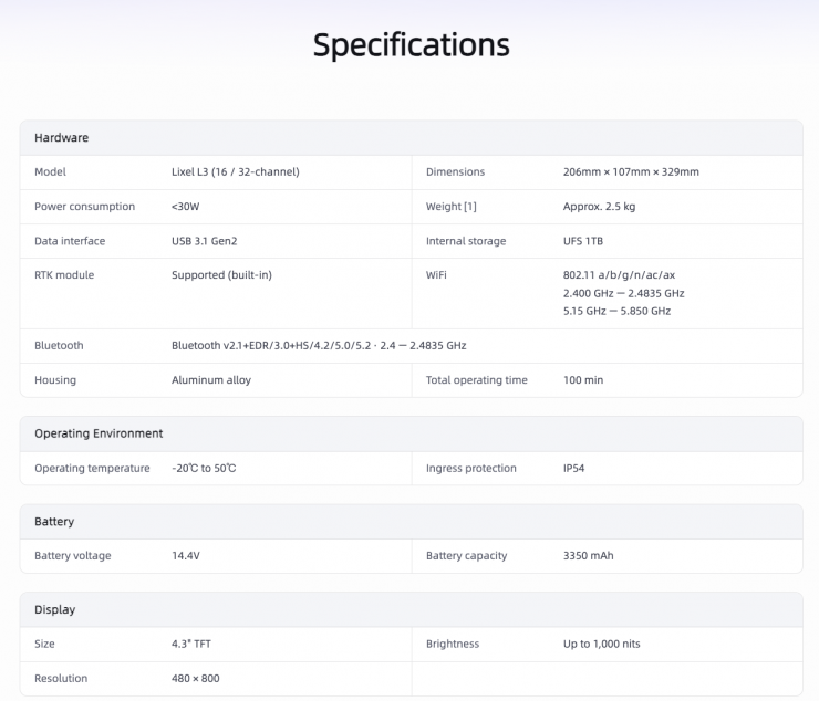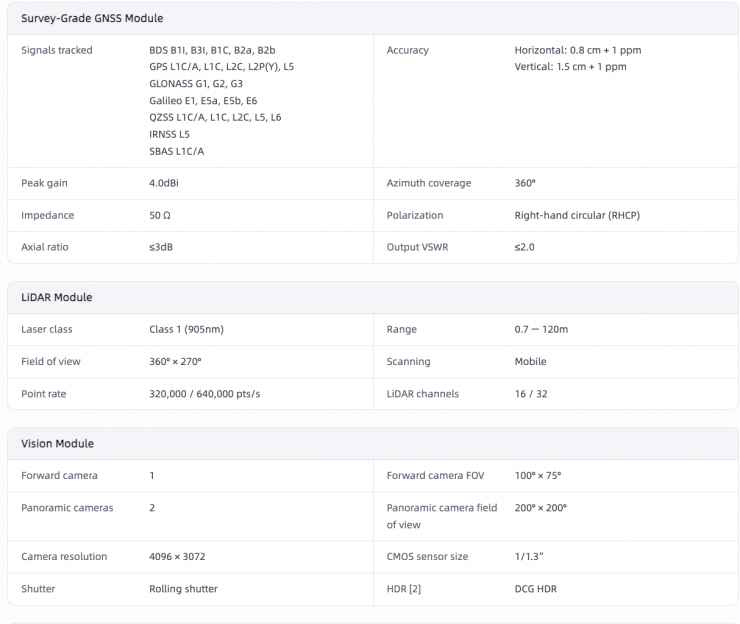

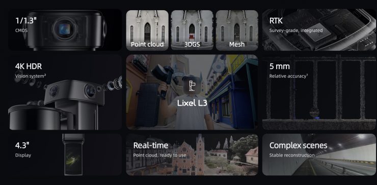
Lixel L3 is XGRIDS’ new flagship high-accuracy spatial scanner. It was purpose-built for large-scale, complex environments, and it combines a high-accuracy LiDAR, a 4K true-color vision system, integrated survey-grade RTK, and a built-in display.
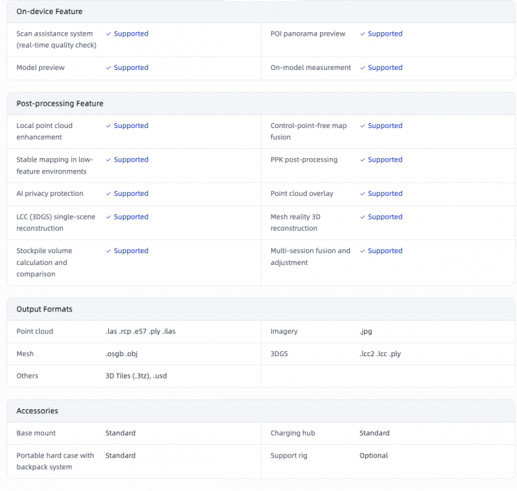
For virtual production, 3DGS data reaches Unreal Engine through the LCC.
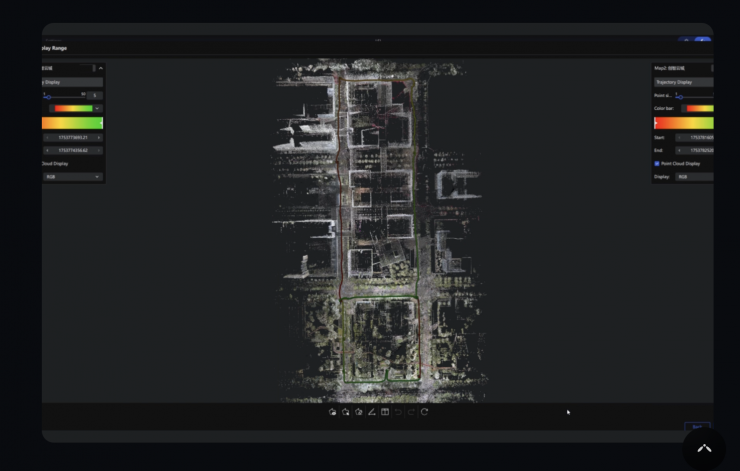
The Lixel L3 would be suitable for surveying, AEC, Scan-to-BIM, digital twins, geospatial, and virtual production.
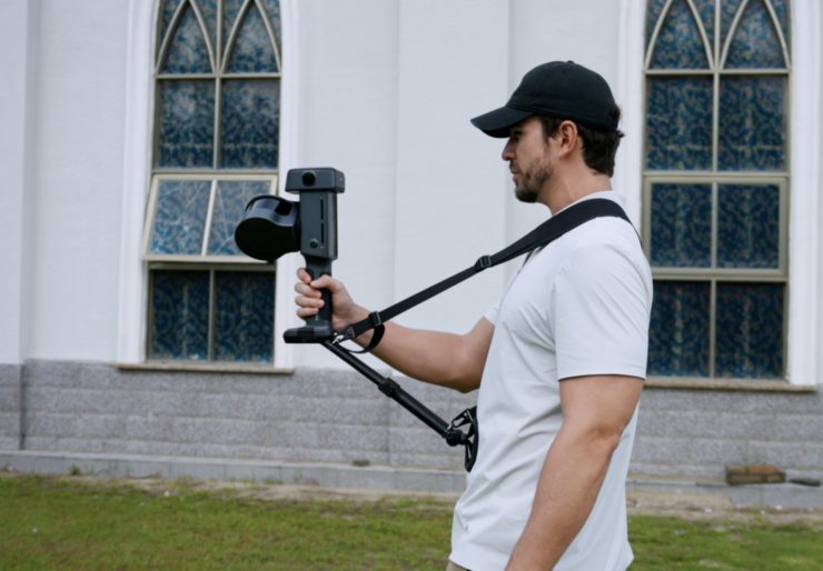
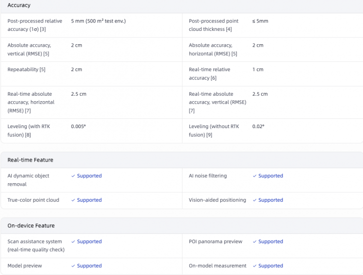
The Lixel L3 provides geometry, color, positioning, and capture together in a single pass. It features a claimed 5 mm relative accuracy and photorealistic color capture. It gives you precise measurement and true-to-life visualization.
It is equipped with real-time multi-SLAM technology, so that the scanner remains stable in complex environments, such as urban canyons or low-texture tunnels, and automatically filters out moving objects and noise.
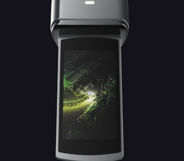
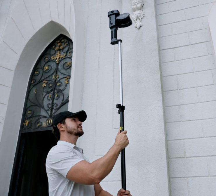
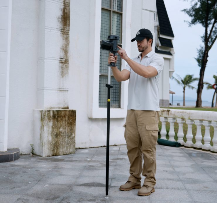
The system includes a built-in display for real-time monitoring and supports versatile mounting, including directly onto an RTK pole for overhead capture.